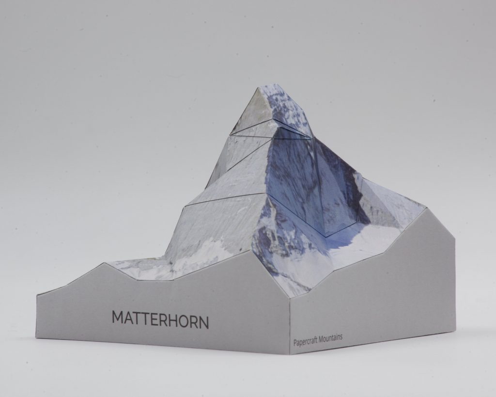
Our minimalist Matterhorn model kits: extra colorful, and super easy to make. They’re pre-cut, so all you have to do is to fold, glue and enjoy.
You can get the minimalist Matterhorn kits from our Etsy shop.
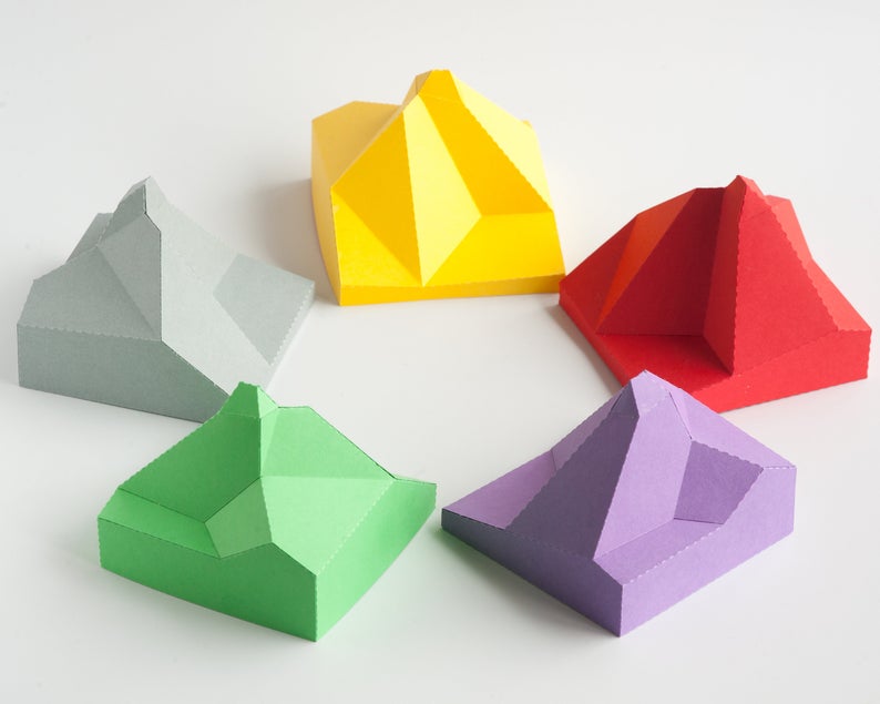
Our minimalist Matterhorn model kits: extra colorful, and super easy to make. They’re pre-cut, so all you have to do is to fold, glue and enjoy.
You can get the minimalist Matterhorn kits from our Etsy shop.

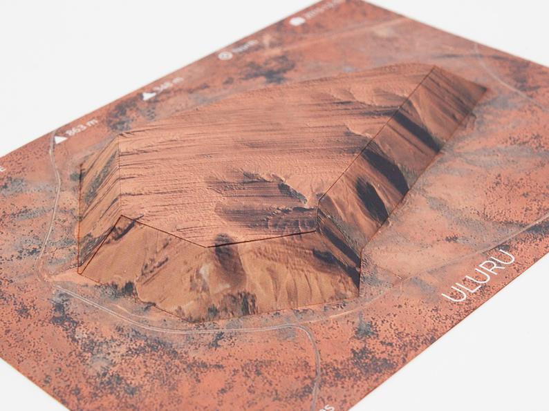
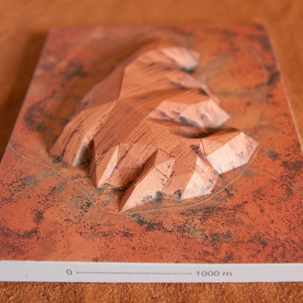
This papercraft model is a simplified version of our detailed Uluru model. It is designed to be super easy to assemble – in less than an hour, you can finish your own model and marvel at the beauty of this truly unique mountain. All you need are glue and scissors. Or, if you choose the pre-cut version, not even scissors! The model is textured with a high-resolution satellite image, which really brings out all of Uluru’s intricate features.
You can get this model from our Etsy shop.
Get the Uluru model on Etsy.
Uluru, the famous monolith in Australia’s red centre, is one of the most recognisable landmarks of the continent. It has long held a special significance for Australia’s Aboriginal people, and anyone who lays eyes on this spectacular solitary rock will understand why.
Building this papercraft model is a great way to appreciate the shape of Uluru, which is surprisingly complex compared to the classic sunset view.
By using accurate elevation data from the Japan Aerospace Exploration Agency, we were able to capture many of Uluru’s intricate details. We built more than fifteen prototypes during development to make sure that the model is easy to build despite the complicated topography.
This model is textured with a beautiful satellite image and printed on high-quality paper, with cut and fold lines on the back.
Features


We love maps and mountains, and the process of turning them into 3D paper models allows us to explore both in great detail. It’s a really unique and fun experience to turn a flat sheet of paper into a mountain sculpture!
We hope you’ll enjoy building our mountains as much as we love developing them!
Jake: I was following Daniel Huffman’s tutorial on generating shaded reliefs using 3D rendering software, and slightly adapted the approach by first converting the DEMs to triangulated irregular networks before rendering them. The faceted appearance reminded me of the low-poly papercraft models that have been in vogue for a while, and I thought it might be fun to build a terrain model out of paper.
Johann: In June 2015 as we were cycling over the hills of Belgium we discussed what the qualities of such a model would have to be to be considered “optimal”. When we returned home to Brussels and Stuttgart we both started to adapt existing triangulation algorithms for this specific problem. In the end I came up with a solution that strikes a good balance between terrain fidelity and having a small number of triangles, avoiding difficult-to-assemble thin and tiny triangles as much as possible. My background in numerical optimisation certainly came in handy for this.
We presented the first results at the ICA Mountain Cartography Workshop in April 2016 in the beautiful mountains of Berchtesgaden, Germany and received a lot of very encouraging feedback. Since then we have been working on new models – the Matterhorn, Mount Fuji and Mount St. Helens are already available, Uluru is currently in the works.
Creating these mountain sculptures is a surprisingly involved process!
First we identify the mountain we want to scale (no pun intended) and search for the terrain data and license high quality aerial images to use as a texture. Jake’s experience with GIS (geographic information systems) software is really helpful for this!
Then we make a reduced representation of the terrain using triangles. We developed a software that helps us optimise the layout so that we get the highest fidelity model for a given complexity of the model. We really strive to make models that give the best result for the time you put into building them!
When the 3D model looks good we unfold it to make a printable template. Our objective here is to have parts that are easy to assemble. We typically make 3-5 test builds to determine a good construction order and tweak the layout a bit, like numbering the glue tabs in the best order of assembly.
The end result is a paper layout to build a mountain with just a craft knife or scissors and a bit of glue! The aesthetic is a beautiful blend of that hot low-poly faceted look and highly detailed textures that is really fascinating to build and look at!
If you are interested to learn more about the details of our method to create papercraft mountains, head on over here to download our paper.
Jake + Johann
Would you like to learn more about our method for creating papercraft raised relief maps from digital elevation data? We wrote a paper describing the method that has been included in the proceedings of the 10th Mountain Cartography Workshop. You will find out
You can download the paper here.
Get the Mount St Helens model on Etsy.
Features
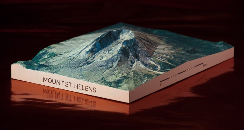
In 1980, a cataclysmic eruption of Mount Saint Helens displaced 3 km³ of rock and soil, destroying the peak of the mountain and covering much of its flanks in lava, ash and mud. The event transformed the face of the volcano, creating the now characteristic horseshoe-shaped crater in place of the symmetric cone that had earned the peak the nickname “Fujisan of America” in the past. Almost 40 years later, the flowpaths of the lava and mud are still clearly visible, and the crater serves as a humbling reminder that Earth’s surface is ever changing.
This papercraft model of Mount Saint Helens is based on elevation data from the high precision National Elevation Dataset, allowing you to fully appreciate the mountain’s fascinating shape, and the extremely detailed aerial imagery from the US National Agriculture Imagery Program lets you explore the varied surface of this still-active volcano from the comfort and safety of your own home.
You can get a kit printed on high quality heavy paper from our Etsy store.
Get the Mount Fuji model on Etsy.
Features
You can simply download the template and print it at home, or we can send you a kit printed on high quality heavy paper.
Get the Matterhorn model on Etsy.
Features
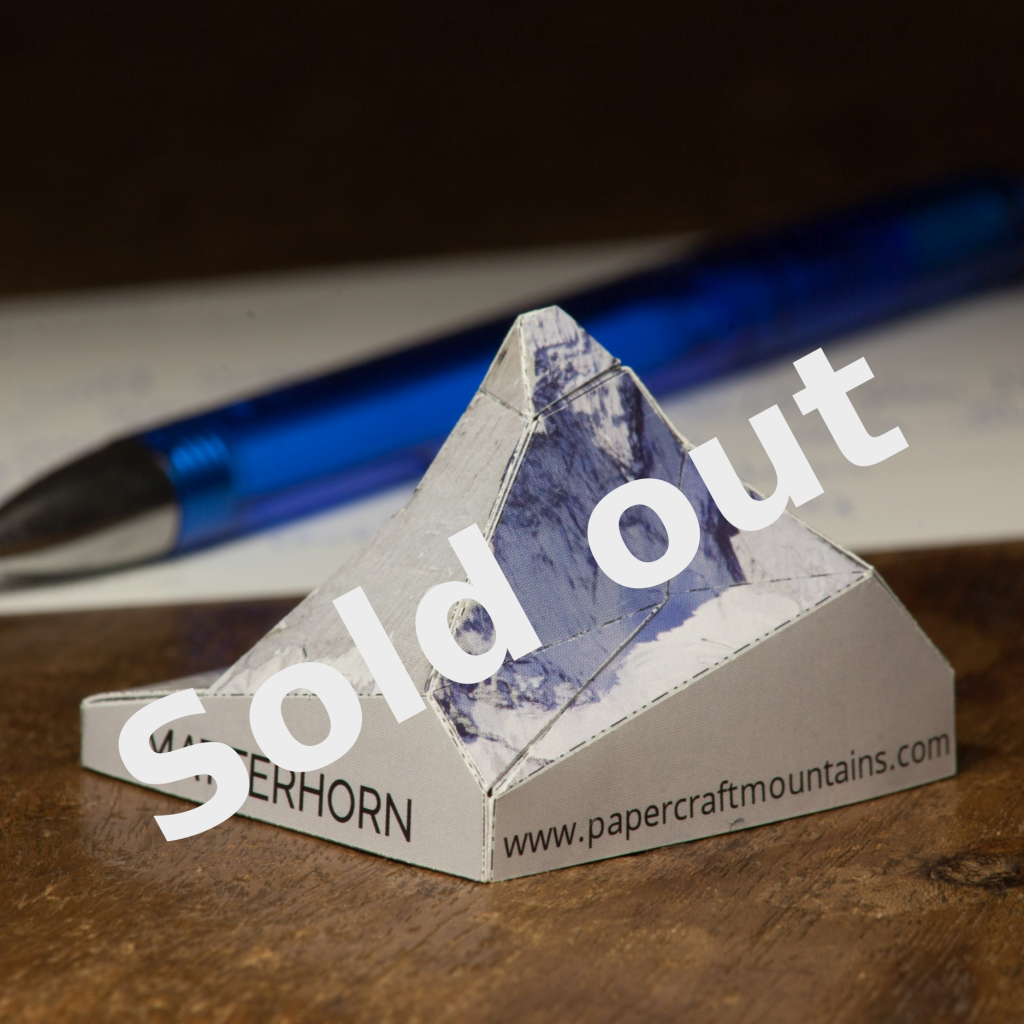
You can get a kit printed on high quality heavy paper at our Etsy Store.